Field experiments
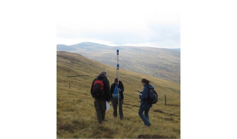
Field experiments currently encompass mainly the topics of geothermal energy and applied geophysics. For example, in the field we determine the hydraulic properties of potential geothermal reservoirs directly by hydraulic pumping tests and logging procedures in boreholes. In hydraulic pumping tests, a fluid pressure signal is generated in a packer-separated interval of a borehole. From the response signal registered in a second borehole, conclusions can be drawn about the properties of the subsurface. The borehole walls can be characterized using different logging methods that complement the results from core logging. Thus, we obtain information about the orientation of fractures and faults or about the density and elastic wave velocity of the reservoir rock.
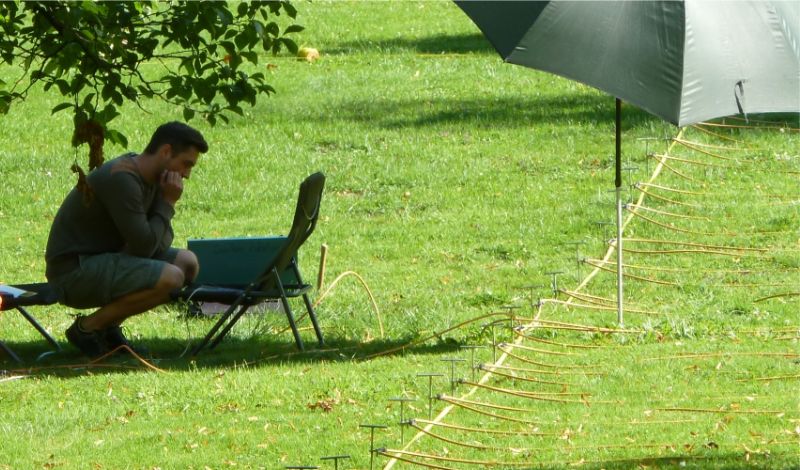
In the field of applied geophysics, geophysical measurement methods are used to explore the near-surface (m to several tens of m) subsurface. Compared to drilling, these methods have the advantage of being non-destructive and inexpensive. Geophysical measurements are therefore often used, e.g., in subsoil exploration. Experience in the handling of the measuring instruments and the evaluation of the data therefore offers an advantage when entering professional life. In our working group we mainly use the geophysical methods georadar, geoelectrics and geomagnetics. However, we also perform seismic and gravimetric measurements. The applications are diverse and can include the exploration of the near-surface geological composition of the subsurface as well as archaeological issues.
Examples
Mapping of the shallow subsurface at the Kemnade reservoir
This bachelor thesis dealt with the investigation of the subsurface in the vicinity of the Kemnader reservoir using multi-electrode geoelectrics and georadar. The results were incorporated into a project on self-potential measurements during periodic pumping tests. Furthermore, the familiarization with the then newly acquired multi-electrode apparatus resulted in a short manual, which serves as a script for the geophysical field practical course.
The geoelectric measurements show low resistivity in the eastern profile area. Consultation of geologic maps indicates that these low resistivities are caused by the sandy silt of the floodplain. In the western profile area, the resistivity values are higher and are probably caused by the sandy-gravelly sediments of the lower river terrace, since gravels typically have a low water content. The gravel lens extends to a depth of about 7 m. From this depth on, the specific resistivities again assume relatively low values. Here, the boundary between Quaternary sediments and Upper Carboniferous sandstone was probably detected.

Geophysical measurements in the surroundings of the Ursulinengymnasium Werl
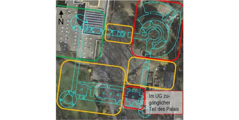
This work was carried out as part of an advanced geophysical practical course (MSc), but is roughly equivalent in scope to a BSc thesis. In the study, presumed wall remains of a castle complex built in the 16th century were searched in the subsurface on the present site of the Ursulinengymnasium in Werl. The once large castle complex is only partially preserved today. The geophysical measurements were designed to provide more precise knowledge about possible ground monuments and to create the basis for an above-ground identification of the ground monuments, which will explain the structure of a fortified castle to visitors and give them an understanding of the history of the region.
Three geophysical methods were employed: georadar, geoelectrics and geomagnetics. The measurement profiles/fields were laid out in such a way that they crossed the presumed wall remains. The results of the georadar and geoelectric measurements point to preserved remains of the castle complex in the subsoil, namely the south-western fortified tower and the adjoining connecting walls as well as the cellar complex of the palace. The georadar measurements depict remains of the former defense tower in the southwest of the complex quite clearly. Probably parts of the walls and possibly the former floor of the tower are preserved in the subsoil at a depth of about 0.5 to 1.5 meters. With the help of the geoelectrical measurements, in addition to the results of the radar measurements, remains of the western castle wall and the palace could also be well resolved. Areas of high resistivity in the models show that wall remains are located relatively close to the surface (<3 m depth).


